
Lewes 🇺🇸
-
Nautical Twilight begins:05:00 amSunrise:06:03 am
-
Sunset:07:52 pmNautical Twilight ends:08:56 pm
-
Moonrise:01:50 am
-
Moonset:11:08 am
-
Moon over:06:29 am
-
Moon under:06:50 pm
-
Visibility:59%
-
 Third Quarter Moon
-
Distance to earth:371,077 kmProximity:81.3 %
Moon Phases for Lewes
-
poor Day
-
minor Time:12:50 am - 02:50 am
-
major Time:
 05:29 am -
07:29 am
05:29 am -
07:29 am
-
minor Time:10:08 am - 12:08 pm
-
major Time:05:50 pm - 07:50 pm
Tide Clock
Tide Graph
Times
| Tide | Time | Height |
|---|---|---|
| high | 01:29 am | 4.56 ft |
| low | 08:02 am | 0.49 ft |
| high | 02:04 pm | 3.35 ft |
| low | 07:57 pm | 0.56 ft |
| Date | Major Bite Times | Minor Bite Times | Sun | Moon | Moonphase | Tide Times |
|---|---|---|---|---|---|---|
|
Tue, 30 Apr
|
05:29 am -
07:29 am
05:50 pm -
07:50 pm
|
12:50 am -
02:50 am
10:08 am -
12:08 pm
|
R: 06:03 am S: 07:52 pm |
R: 01:50 am S: 11:08 am |
Third Quarter Moon |
high: 01:29 am
, 4.56 ft
, Coeff: 124
low: 08:02 am
, 0.49 ft
high: 02:04 pm
, 3.35 ft
, Coeff: 70
low: 07:57 pm
, 0.56 ft
|
|
Wed, 01 May
|
06:26 am -
08:26 am
06:43 pm -
08:43 pm
|
01:31 am -
03:31 am
11:21 am -
01:21 pm
|
R: 06:02 am S: 07:53 pm |
R: 02:31 am S: 12:21 pm |
Third Quarter Moon |
high: 02:31 am
, 4.46 ft
, Coeff: 120
low: 09:03 am
, 0.46 ft
high: 03:10 pm
, 3.44 ft
, Coeff: 74
low: 09:06 pm
, 0.56 ft
|
|
Thu, 02 May
|
07:20 am -
09:20 am
07:35 pm -
09:35 pm
|
02:05 am -
04:05 am
12:35 pm -
02:35 pm
|
R: 06:01 am S: 07:54 pm |
R: 03:05 am S: 01:35 pm |
Third Quarter Moon |
high: 03:36 am
, 4.43 ft
, Coeff: 119
low: 10:05 am
, 0.36 ft
high: 04:17 pm
, 3.71 ft
, Coeff: 86
low: 10:17 pm
, 0.43 ft
|
|
Fri, 03 May
|
08:12 am -
10:12 am
08:25 pm -
10:25 pm
|
02:35 am -
04:35 am
01:49 pm -
03:49 pm
|
R: 06:00 am S: 07:55 pm |
R: 03:35 am S: 02:49 pm |
Waning Crescent |
high: 04:42 am
, 4.43 ft
, Coeff: 119
low: 11:04 am
, 0.2 ft
high: 05:21 pm
, 4.1 ft
, Coeff: 104
low: 11:26 pm
, 0.23 ft
|
|
Sat, 04 May
|
09:02 am -
11:02 am
09:15 pm -
11:15 pm
|
03:01 am -
05:01 am
03:03 pm -
05:03 pm
|
R: 05:58 am S: 07:56 pm |
R: 04:01 am S: 04:03 pm |
Waning Crescent |
high: 05:45 am
, 4.43 ft
, Coeff: 119
low: 11:58 am
, -0.03 ft
high: 06:19 pm
, 4.56 ft
, Coeff: 124
|
|
Sun, 05 May
|
09:52 am -
11:52 am
10:05 pm -
12:05 am
|
03:27 am -
05:27 am
04:18 pm -
06:18 pm
|
R: 05:57 am S: 07:57 pm |
R: 04:27 am S: 05:18 pm |
Waning Crescent |
low: 12:29 am
, -0.07 ft
high: 06:43 am
, 4.43 ft
, Coeff: 119
low: 12:49 pm
, -0.23 ft
high: 07:13 pm
, 4.99 ft
, Coeff: 144
|
|
Mon, 06 May
|
10:43 am -
12:43 pm
10:58 pm -
12:58 am
|
03:53 am -
05:53 am
05:33 pm -
07:33 pm
|
R: 05:56 am S: 07:58 pm |
R: 04:53 am S: 06:33 pm |
New Moon |
low: 01:28 am
, -0.3 ft
high: 07:38 am
, 4.43 ft
, Coeff: 119
low: 01:37 pm
, -0.36 ft
high: 08:03 pm
, 5.31 ft
, Coeff: 158
|


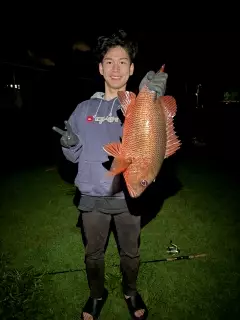
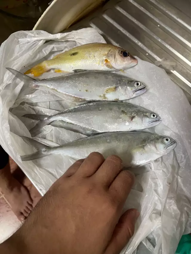
uploaded by: Mr.Chow
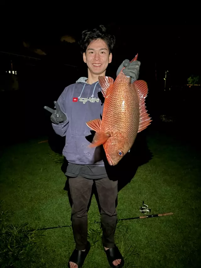
uploaded by: Mr.Chow
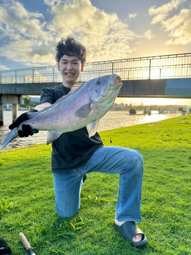
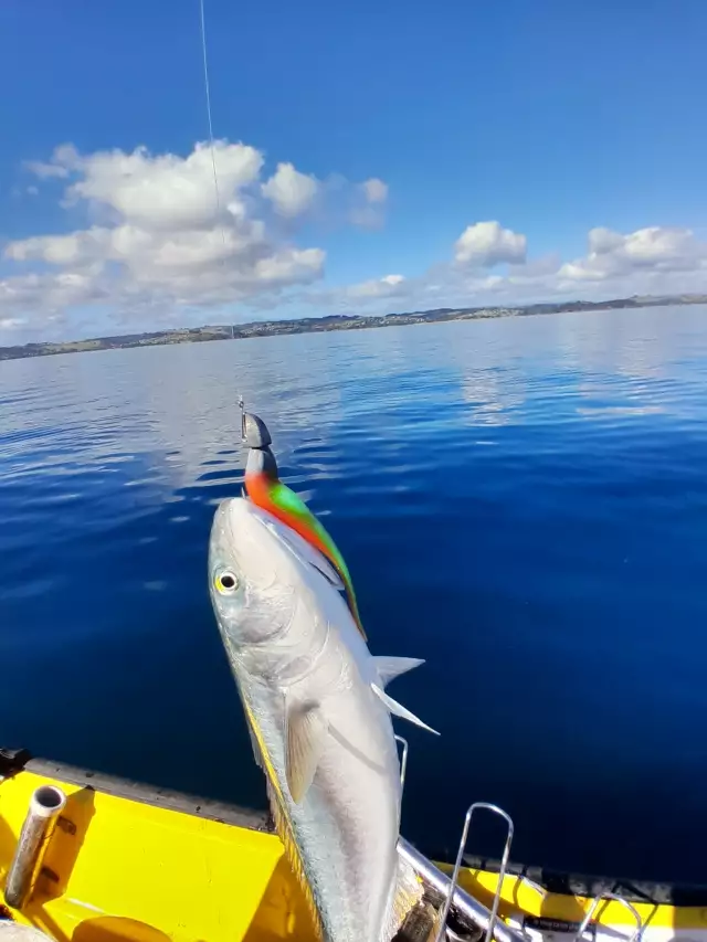
uploaded by: Chadderikk
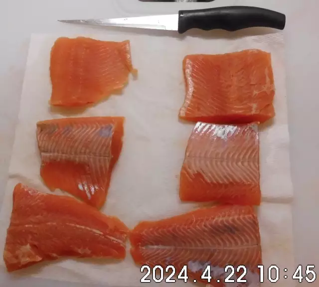
uploaded by: Mike Brooks (Savage)
uploaded by: Mike Brooks (Savage)
uploaded by: Terry Foster
uploaded by: Doug Parr
uploaded by: Ahmed Elbasha
uploaded by: Hoza
uploaded by: PT Edward fisher
Luis,liu yi si,Луис,刘易斯
Best Fishing Spots in the greater Lewes area
Wharf's or Jetties are good places to wet a line and meet other fishermen. They often produce a fresh feed of fish and are also great to catch bait fish. As they are often well lit, they also provide a good opportunity for night fishing. There are 1 wharf(s) in this area.
Maulls Wharf (historical) - 1km
Beaches and Bays are ideal places for land-based fishing. If the beach is shallow and the water is clear then twilight times are usually the best times, especially when they coincide with a major or minor fishing time. Often the points on either side of a beach are the best spots. Or if the beach is large then look for irregularities in the breaking waves, indicating sandbanks and holes. We found 11 beaches and bays in this area.
Beach Plum Island - 4km , Whiskey Beach - 7km , Broadkill Beach - 7km , Old Inlet Beach - 7km , Rehoboth Beach - 8km , Head of Bay Cove - 10km , Primehook Beach - 11km , Joy Beach - 11km , Shell Beach Pond - 12km , Indian Beach - 12km , Rehoboth Bay - 13km
Harbours and Marinas can often times be productive fishing spots for land based fishing as their sheltered environment attracts a wide variety of bait fish. Similar to river mouths, harbour entrances are also great places to fish as lots of fish will move in and out with the rising and falling tides. There are 1 main harbours in this area.
Henlopen Acres Yacht Basin - 7km
We found a total of 98 potential fishing spots nearby Lewes. Below you can find them organized on a map. Points, Headlands, Reefs, Islands, Channels, etc can all be productive fishing spots. As these are user submitted spots, there might be some errors in the exact location. You also need to cross check local fishing regulations. Some of the spots might be in or around marine reserves or other locations that cannot be fished. If you click on a location marker it will bring up some details and a quick link to google search, satellite maps and fishing times. Tip: Click/Tap on a new area to load more fishing spots.
South Street Bridge - 0km , Blockhouse Pond - 1km , Maulls Wharf (historical) - 1km , Bookhammers Pond - 2km , Gills Neck - 2km , Breakwater Harbor - 3km , Roosevelt Inlet - 3km , Lewes and Rehoboth Canal - 3km , Hells Neck - 3km , Wolfe Neck - 4km , Beach Plum Island - 4km , Black Hog Gut - 4km , Cape Henlopen - 5km , Red Mill Pond Dam - 6km , Harbor of Refuge - 6km , Holland Neck - 6km , Whiskey Beach - 7km , Welches Pond - 7km , Broadkill Beach - 7km , Broadkill Sound - 7km , Oyster Rocks Neck - 7km , Old Inlet Beach - 7km , Henlopen Acres Yacht Basin - 7km , Hetty Fisher Glade - 7km , Hetty Fisher Pond - 7km , Holland Pond - 7km , Wall Island - 8km , Stillman Glade - 8km , Sipps Point - 8km , Rehoboth Beach - 8km , Covington Neck - 8km , Lake Gerar - 8km , Goslee Mill Pond Dam - 8km , Love Creek Bridge - 8km , White Neck - 9km , Warrington Neck - 9km , Silver Lake - 9km , Lake Comegys - 9km , Plumb Point (historical) - 9km , Petersfield Island - 9km , Johnson Neck - 9km , White Oak Point - 10km , Bald Eagle Point - 10km , Thompson Island - 10km , Petersfield Ditch - 10km , Head of Bay Cove - 10km , Sally Burton Ponds - 11km , Cave Neck - 11km , Primehook Beach - 11km , Joy Beach - 11km , Horse Island - 11km , Conwell Pond - 12km , Angola Neck - 12km , Turkle Pond - 12km , Broadkill Neck - 12km , Shell Landing Cove - 12km , Shell Beach Pond - 12km , Burton Pond Dam - 12km , Peach Pond - 12km , Oak Pond - 12km , Flaxhole Pond - 12km , Fleetwood Pond - 12km , Marsh Island - 12km , Indian Beach - 12km , Horseshoe Pond - 12km , Jack Roach Pond - 13km , Twin Ponds - 13km , Teal Pond - 13km , Big Piney Island (historical) - 13km , Streak Ponds - 13km , Stickweed Pond - 13km , Spatterdock Pond - 13km , Sloan Cove - 13km , Rehoboth Bay - 13km , Pine Water Neck - 13km , Goose Pond - 13km , Hay Hummock - 13km , Hazard Cove - 13km , Jones Pond - 13km , Wilkins Point - 14km , Wolfpit Pond - 14km , Wilson Pond - 14km , Second Hill - 14km , Sally Cove - 14km , Primehook Neck - 14km , Poplar Woods Pond - 14km , Pikes Neck - 14km , Noah Pond - 14km , Negro Island - 14km , Miry Pond - 14km , Little Round Pond - 14km , Little Neck - 14km , Big Nose Island - 14km , Big Round Pond - 14km , Arrowhead Point - 14km , Caleb Pond - 14km , Hoods Island - 14km , First Hill - 15km
Comments